Site Search

Hiking Calendar

Oak Spring and Yerba Buena Ridge Loop

Oak Spring Trail (Gold Creek Trailhead) 9998-9954 Gold Creek Rd, Sylmar, CA, US

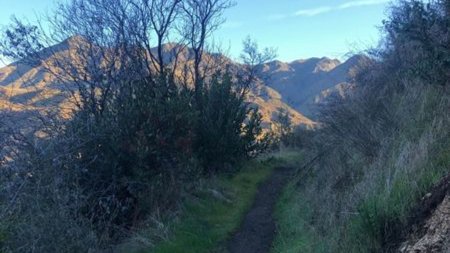
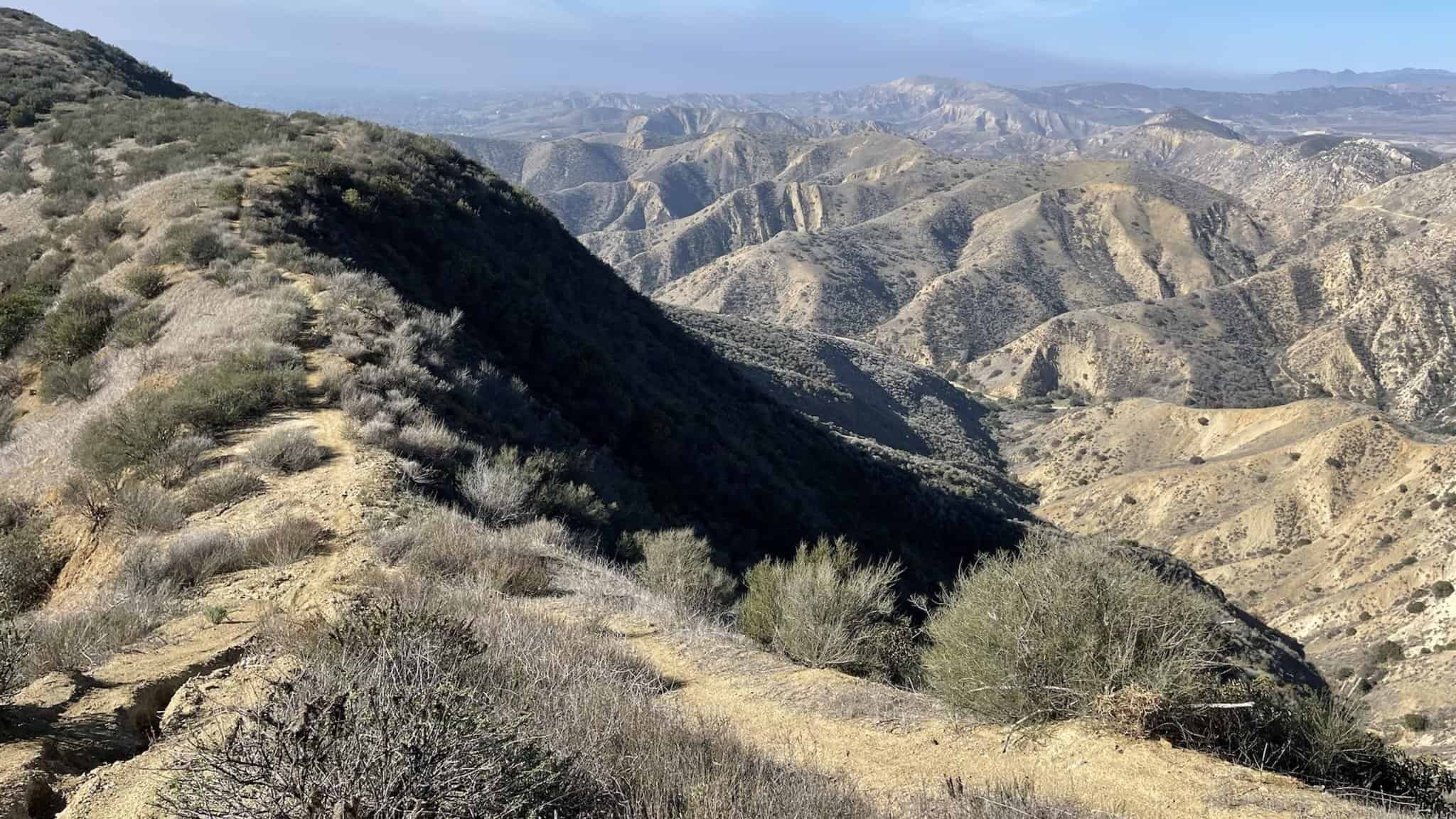
This is a lightly traveled loop trail in seldom seen Angeles Forest back country. Due to the fact that there is no shade on this hike it is best conducted in the winter or early spring when temps are cool and everything is green from rain. The reward for this hike are the incredible vistas […]

Las Llajas The Ridge Rocky peak Hummingbird Bridle path Mount Sinai

Las Llajas Canyon Trail 5715 Evening Sky Dr, Simi Valley, CA, US

https://www.alltrails.com/trail/us/california/las-llajas-canyon-and-ridge-loop Hello Fellow Hikers,Okay the AllTrails attached is our starting point and we are doing the Ridge but we are going to continue on a different route from there. This will be a harder trail and not for beginners. The first 2 miles is 1800 elevation gain! It's one of those hikes I'll need to […]

🌵⭐️ 2022 YEARLY DUES 🌍🌸 ANYTHING HELPS 🌸🍷 THANX!!! 🌮🍺

Mt Kilimanjaro 123 Mountain Street, Blah Blah, TZ

Due to the pandemic, we've been posting fewer hikes lately but we're hoping to start posting 'em more often in the coming months... Still gotta pay website costs and other associated expenses, so it would be appreciated if y'all could help with a small yearly donation... 😀 really appreciate it... every little bit helps 😀 […]

🍔🍕 VASQUEZ ROCKS 5 MILE HIKE – ROCK SCRAMBLE – 49’ER GRILL FOR FOOD 🍔🍕

Vasquez Rocks Natural Area 10700 W. Escondido, Agua Dulce, CA, US

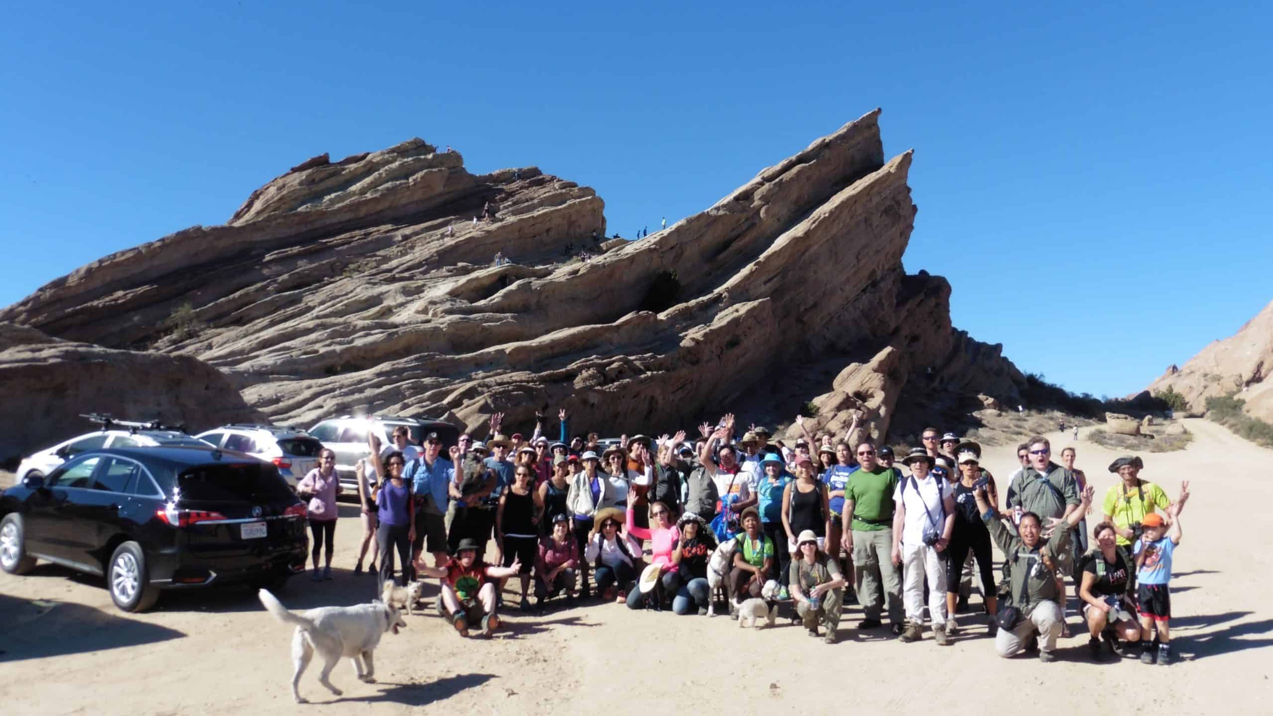
CLIMB ON VASQUEZ ROCKS!!! Highlighted in several MOVIES and TV commercials, to include Star Trek, Bill and Teds Excellent Adventure, the Flintstones and about a million more. ***LEAVE THE WEST SIDE BY 10:00AM to get there on time... GOOGLE MAPS: https://goo.gl/maps/FLUzJfUZfD22 CLICK BELOW TO SEE WORST STAR TREK FIGHT EVER FILMED AT VASQUEZ ROCKS https://www.youtube.com/watch?v=Z1eFdUSnaQM […]

Mash Site – Malibu Creek State Park Potluck Hike

27000 Mulholland Hwy 27000 Mulholland Hwy, Agoura Hills, CA, US

Fit Beginner - 6 miles, 600' gain This is a social hike and an out-and-back event. There is a potluck at the M.A.S.H. site before we turn around for the return. If your item requires paper plates, utensils, etc. please bring them. Pot Luck guidelines: https://www.meetup.com/Hiking-Plus/messages/boards/thread/50879772 We will meet at the Grasslands trail head off […]

Easy hike – SYCAMORE CANYON

Rancho Sierra Vista/Satwiwa 4121 Potrero Rd, Newbury Park, CA, US

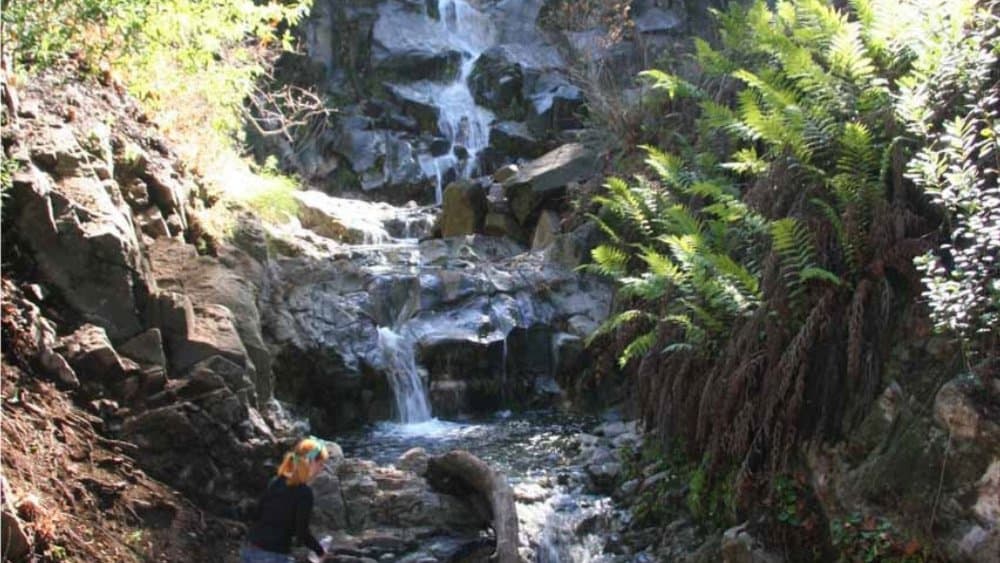
BEFORE YOU WILL BE MOVED TO THE GOING LIST, YOU WILL NEED TO UPDATE YOUR CDH PROFILE (The three questions must be answered with a "yes") IF YOU HAVE NOT ALREADY DONE SO.NEED HELP:go to: https://wp.me/P9MbG4-hC We'll be doing an easy short hike to the waterfall off Sycamore Canyon. Don't expect more than a trickle […]

Mountain E-bike ride – SYCAMORE CANYON

Rancho Sierra Vista/Satwiwa 4121 Potrero Rd, Newbury Park, CA, US

BEFORE YOU WILL BE MOVED TO THE GOING LIST, YOU WILL NEED TO UPDATE YOUR CDH PROFILE (The three questions must be answered with a "yes") IF YOU HAVE NOT ALREADY DONE SO.NEED HELP:go to: https://wp.me/P9MbG4-hC We'll be riding on dirt and a paved road as we take on Sycamore Canyon from Newbury Park to […]

Happy Camp 2 – Intermediate

Happy Camp Rustic Canyon 13650 Broadway Road, Moorpark, US

5.7 Miles, 1000' gain, Intermediate. The starting point is NOT at the golf course entrance. It is at a dirt lot that can hold at least 50 cars. There is some real incline on this hike and a lot less trails coated with silt compared to the easier Happy Camp hike. Even though I have […]

Inspiring/Challenging/Steep Moonlight Hike: Caballero Lp Trl off Reseda(Tarzana)

4047 Reseda Blvd 4047 Reseda Blvd, Tarzana, CA, US

STATSDifficulty: 5/10, Moderate but steep uphillLength: 4 miles, 2 hours plus breaksElevation Gain & Loss: 1400’View: Cross-valley view and Ocean on clear nightsDetails: Steeper uphill, easier downhill TRAILHEAD INFOPark on the street near the address. Night-hiking in LA is amazing! Trails are practically empty, breeze is cool, & the beautiful city below you offers unlimited […]


Trail statistics are approximate. For safety purposes always assume they are underestimated. But don’t be disappointed if they are overestimated. Bring more water and snacks than you think you’ll need.

Trail descriptions are based on previous hikes. Current conditions are unknown until arrival. Expect the unexpected and plan accordingly.

The Organizers and members of Hiking With Dean are not professional leaders, guides, or mountaineers. The function of the member or organizer is only to organize the trip. Each person who shows up for a trip/meetup (and their guest or guests) is responsible for his or her own safety. By attending a hike, or any other event organized by this group, you are acknowledging that you and any guests that you bring are aware of the risks, dangers and hazards associated with the activity and freely accept and fully assume all such risks, dangers and hazards, and further agree to release and discharge the Organizers, Members of the Hiking With Dean Meetup Group from and against any and all liability arising from your participation in the group activities per our ASSUMPTION OF RISK AND LIABILITY WAIVER and Section 6.2 of the Meetup.com Terms of Service.