Site Search

Weekday Trailblazers

Encinal Canyon to the Top of the World ~ 8 mile Intermediate Hike

Encinal Canyon Road Backbone Trail 1097 Encinal Canyon Road, malibu, CA, US

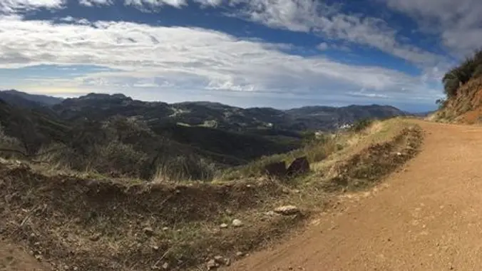
Encinal Canyon is named for encina, the Spanish word for the holm oak, a lovely Mediterranean tree with holly characteristics. Holm oaks are one of the main trees used to establish truffle orchards, but we'll be nosing around the canyon strictly for its beauty. The trail from Encinal is a smooth, firm, and well-traveled singletrack- […]

The hike up Ray Miller Thursday May 4 is cancelled

Ray Miller Trailhead Malibu, CA, US

I have cancelled this hike today, I think the ground will be too wet. Directions: From Los Angeles, take the Pacific Coast Highway (PCH) north, 22 miles from Malibu Canyon Rd. Across the street from Thornhill Broome Beach is the entrance to La Jolla Canyon. It is very clearly marked. Turn right. From Ventura, take […]

Gentler (~5 miles) : Upper Sycamore Canyon w/ Creek Crossings & Wildflowers

Rancho Sierra Vista in Newbury Park Rancho Sierra Vista/Point Mugu, Newbury Park, CA, Newbury Park, CA, US

For those of you who missed this hike last week, here's another chance. There may be more than one hike posted for Thursday - please only sign up for one! And if you can't make it, please cancel as early as possible so waitlisted folks can get notice and attend. See the photos for vignettes […]

Ray Miller trail up to the fire road

La Jolla Canyon 8588 Pacific Coast Hwy, 2 mi North of Sycamore Canyon, Ventura, CA, US

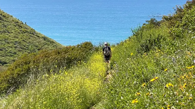
This is a second hike for Thursday because the first one if full. We will go up the Ray Miller trail to the fire road and back, about 6 miles. We may see poppies and other flowers. We’ll enjoy beautiful ocean views as we descend. Lying along the brilliant blue Pacific Ocean at the west […]

Zuma Loop, Ocean and Canyon View Trails ~ Gentler Intermediate

Zuma Canyon Trailhead 5721 Bonsall Dr, Malibu, CA, US

I pre-hiked the trail this morning. The name “Zuma” is derived from the Chumash language and means “abundance.” There is an absolute abundance of beautiful and spectacular wildflowers engulfing the entire area and it appears that there was no impact from the Woolsey fire other than a few remnants of burnt trees. We will start […]

8 Mile Intermediate Hike ~ Newton Canyon to Buzzards Roost – Wildflowers?

Newton Canyon Trailhead 1600 South Kanan Dume Road, Malibu, CA, US

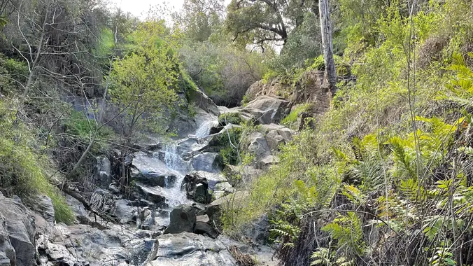
Let's go see what's in bloom in one of our favorite hiking spots, Newton Canyon to Buzzard's Roost! This area was burned over in the Woolsey fire, but spring brings wildflowers, freely flowing water, and a few waterfalls, including the Upper Newton Canyon falls. We’ve seen lupines, poppies, lilies, and a real rarity - Indian […]

Coquina Mine Trail – A Gentler (not Beginner) hike. Steve’s Tempting Fate!

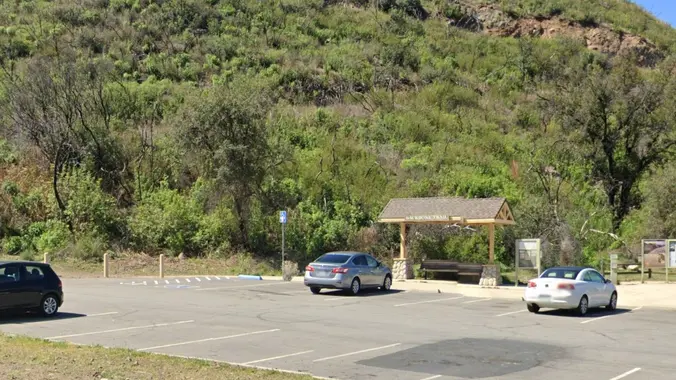
Las Llajas Canyon Trail 5715 Evening Sky Dr, Simi Valley, CA, US

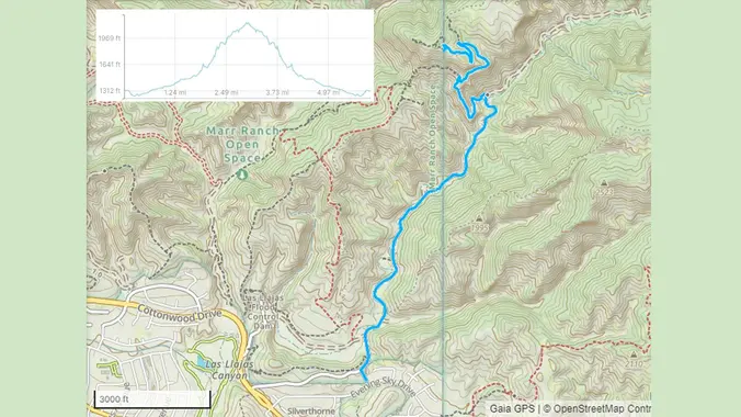
On this hike, we'll repeat our December hike where we took Las Llajas Canyon to a climb up a sweeping trail to the abandoned Coquina mine and visit the steam shovel that has been rusting patiently there for decades. According to Scott, the wildflowers are great in Las Llajas Canyon right now. This is also […]

Gentler / Beginner: Kanan Dume to Latigo – 5 miles

Newton Canyon Trailhead 1600 South Kanan Dume Road, Malibu, CA, US

This is an easier hike for Thursday, another has also been posted, please only sign up for one hike. This hike is 5 miles and will take us on a less-traveled but quite beautiful part of the 67-mile Backbone Trail, which runs through the Santa Monica Mountains National Recreation Area from Will Rogers State Park […]

Lynnmere Trail to Wildwood Park

Lynnmere Trailhead 930 Lynnmere Dr., Thousand Oaks, ca, US

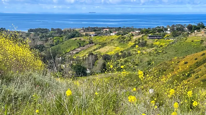
We will start early to beat the heat, entering the north branch of Lynnmere Trail via Thistle Trail, which connects the north and south branches of Lynnmere Trail. The Lynnmere Trail is high above Thousand Oaks, providing pleasant scenery along the Conejo Canyons, Wildwood Park, Paradise Falls, Boney Mountain, the Pacific Ocean, and glimpses of […]

[asa2_collection tpl=”Flex_1″ orderby=”rand” limit=”4″]2[/asa2_collection]

Trail statistics are approximate. For safety purposes always assume they are underestimated. But don’t be disappointed if they are overestimated. Bring more water and snacks than you think you’ll need.

Trail descriptions are based on previous hikes. Current conditions are unknown until arrival. Expect the unexpected and plan accordingly.

The Organizers and members of Hiking With Dean are not professional leaders, guides, or mountaineers. The function of the member or organizer is only to organize the trip. Each person who shows up for a trip/meetup (and their guest or guests) is responsible for his or her own safety. By attending a hike, or any other event organized by this group, you are acknowledging that you and any guests that you bring are aware of the risks, dangers and hazards associated with the activity and freely accept and fully assume all such risks, dangers and hazards, and further agree to release and discharge the Organizers, Members of the Hiking With Dean Meetup Group from and against any and all liability arising from your participation in the group activities per our ASSUMPTION OF RISK AND LIABILITY WAIVER and Section 6.2 of the Meetup.com Terms of Service.