• Overlooking Sycamore Canyon – an Intermediate, Cooler Hike

    Sycamore Canyon Trailhead Sycamore Canyon Road, Malibu, CA, United States

    Just off the ocean, Sycamore Canyon is a wide, seemingly flat stroll among grasses, wildflower, and sycamore trees, surrounded by mountains on both sides. Rather than letting that lull you into a false sense of complacency, we'll take a left turn just after we start, and hike up the southern fork of Overlook Trail to […]

  • Los Robles / White Horse Canyon Loop – Intermediate

    Triunfo Community Park 1935 Tamarack St, Thousand Oaks, CA, US

    https://a248.e.akamai.net/secure.meetupstatic.com/photos/event/4/5/b/c/event_52757852.jpeg Please bring a flashlight or headlamp in case we don't make it back before dark. Kindly note the folowing: Don't show up unless you're shown on the "Attending" list Unregistered or waitlisted will be turned away No "Plus Ones" on this hike No dogs allowed on the hike Time to re-explore the Los Robles […]

  • Geology of the Conejo Open Space Foundation (COSF) trails and Santa Monica Mtns

    Jackson Lake Valyermo, CA, United States

    This is an online event. If you want to view the talk, you'll need to register with Conejo Open Space Foundation at this link. Also, please consider donating $10-$20 to this very worthwhile non-profit. They keep our trails open and maintained, and much more. Please join COSF for a live online presentation by geologist Dr. […]

  • Oaken Stroll – Cheeseboro Canyon Gentler

    Cheeseboro Canyon Trailhead Chesebro Road, Agoura Hills, CA, United States

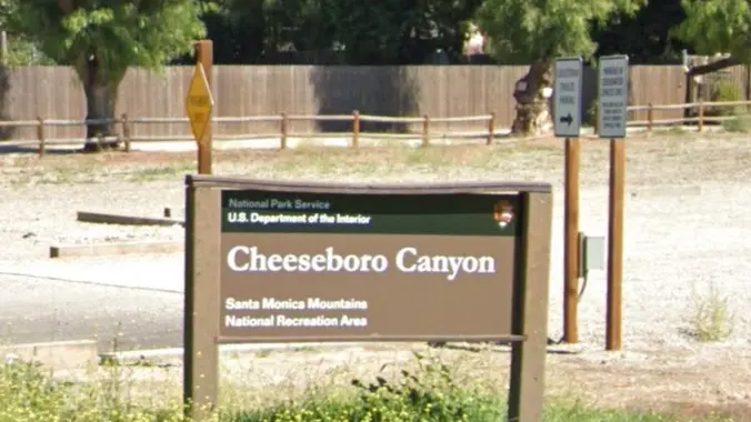
    Please join us on a cooler hike through the oaks. We'll start at the Cheseboro trailhead parking lot in Agoura Hills, and hike north 3 miles to Ranch Center Road, where we'll turn around and return. According to GaiaGPS, this route has a very gentle 400' of elevation gain and descent with no abrupt transitions. […]

  • Los Robles Trailhead at Greenmeadow Avenue ~ Braille Trail ~ Gentler Friendly

    Cheeseboro Canyon Trailhead Chesebro Road, Agoura Hills, CA, United States

    NOTE: We will leave from the Greenmeadow Parking lot and NOT from the Moorpark Lot. Our hike leaves from Greenmeadow Trailhead (a.k.a. Braille Trail). This hike will be an IN/OUT on the Los Robles West Trail. We will go out 2 1/2 miles and return the same, for exactly 5 miles with about 800' of […]

  • Through Conejo Canyon bridge to Wildwood Central Park – Intermediate Gentler

    Hill Canyon Trailhead Hill Canyon Rd, Camarillo, CA, US

    Let's go to Wildwood Park through a new access route. After crossing the bridge from the parking lot, we will start the hike following Hill Canyon trail to the newly opened “Conejo Canyon Bridge” which connects trails on either side of the creek, Conejo Canyons and Wildwood Park. Wildwood Park in Thousand Oaks is one […]

  • Intermediate 7 mile ~ Ray Miller Trail and Overlook Trail in Malibu

    La Jolla Canyon 8588 Pacific Coast Hwy, 2 mi North of Sycamore Canyon, Ventura, CA, US

    Join us on an out and back hike up the Ray Miller Trail and the Overlook Trail. We’ll enjoy beautiful ocean views as we descend. We'll pick up about 1300’ gain on this 7 mile adventure. Lying along the brilliant blue Pacific Ocean at the west end of Malibu (just shy of Port Hueneme), the […]

  • Lindero Canyon Road to Simi Peak – Intermediate

    Lindero Canyon & Wembly Lindero Canyon Road & Wembly Ave, Oak Park, CA, US

    http://photos1.meetupstatic.com/photos/event/e/3/a/0/event_167038272.jpeg This hike has some rocky parts, but no scrambling. This hike will take us on a scenic trip from the suburbs of Oak Park to the top of Simi Peak, which overlooks both the Simi and Conejo Valleys and offers splendid views of the Santa Monica range and offshore islands to the south and […]

  • Happy Camp Canyon

    Happy Camp Regional Park Happy Camp Canyon Road, Moorpark, CA, United States

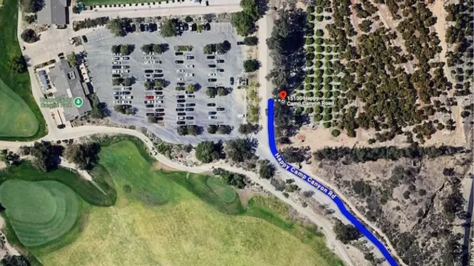
    Happy Camp Canyon Park was once part of a large cattle ranch. It is an important wildlife corridor linking the Simi Hills with the Santa Susana Mountains. It is a lush riparian oak woodland with an intermittent stream. It's a beautiful park right in our backyards.(Writeup modified from Jan Lyon's hike description. Thank You Jan!) […]


Trail statistics are approximate. For safety purposes always assume they are underestimated. But don’t be disappointed if they are overestimated. Bring more water and snacks than you think you’ll need.

Trail descriptions are based on previous hikes. Current conditions are unknown until arrival. Expect the unexpected and plan accordingly.

The Organizers and members of Hiking With Dean are not professional leaders, guides, or mountaineers. The function of the member or organizer is only to organize the trip. Each person who shows up for a trip/meetup (and their guest or guests) is responsible for his or her own safety. By attending a hike, or any other event organized by this group, you are acknowledging that you and any guests that you bring are aware of the risks, dangers and hazards associated with the activity and freely accept and fully assume all such risks, dangers and hazards, and further agree to release and discharge the Organizers, Members of the Hiking With Dean Meetup Group from and against any and all liability arising from your participation in the group activities per our ASSUMPTION OF RISK AND LIABILITY WAIVER and Section 6.2 of the Meetup.com Terms of Service.