Site Search

Weekday Trailblazers

Oak Creek Canyon to Los Robles East ~ Gentler Intermediate

498 Greenmeadow Ave 498 Greenmeadow Ave, Thousand Oaks, CA, US

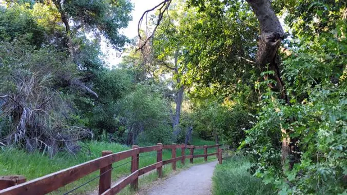
Oak Creek Canyon Trail is a rather special trail in Los Robles Open Space that is designed for the blind as well as the sighted. The all-access trail is shaded by a canopy of oaks, while the Los Robles trail spends more time in the chaparral. We will start at Oak Creek Canyon and proceed […]

Saddle Peak and Topanga Lookout Trails ~ Gentler Intermediate

Topanga Lookout Trailhead Saddle Peak Rd, Malibu, CA, US

We will have two short hikes; Saddle Peak hike (about 3 miles with approximately 500' elevation gain) and Topanga Lookout hike (about 2 miles with approximately 400' elevation gain). https://www.hikespeak.com/trails/topanga-lookout/ We will begin Saddle Peak hike at the end of the Stunt Road hike near the intersection of Stunt Road and Schueren Road. Saddle Peak […]

Intermediate Hike ~ Palo Comado / Cheseboro Loop via Ranch Center trail

Trailhead Sunnycrest and Doubletree, Oak Park, CA, US

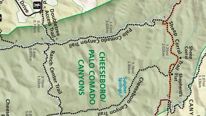
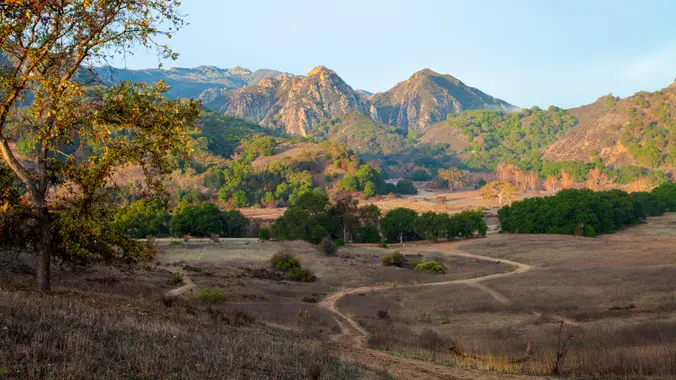
This week we’ll do a loop around the northeastern regions of the Santa Monica Mountains National Recreation Area and the Las Virgenes Open Space. This area traverses many ecosystems, including riparian, chaparral, and the rockscape from Galaxy Quest. The area is generally dry, but very nice! http://photos1.meetupstatic.com/photos/event/c/3/0/c/event_255709932.jpeg The trailhead is where Sunnycrest turns into Doubletree, […]

Upper Stunt High Trail To Saddle Peak ~ Gentler Intermediate at a Slower Pace

UCLA Stunt Ranch Reserve 1201 Stunt Rd, Calabasas, CA, US

This hike begins at Upper Stunt High Trail, a couple hundred feet to the right on the other side of the street from the parking lot. The trail winds upward gradually over switchbacks, giving way as the trail heads up to a dramatic rocky overlook with striking views of the Pacific, Stunt Ranch State Park, […]

The Bridge is Back! – MASH via the Grassland Trail

26998 Mulholland Hwy 26998 Mulholland Hwy, Agoura Hills, CA, US

Please review our guidelines to participate in our hikes. Restrictions apply for your safety and ours: Please don't show up unless you're on the "Attending" list Unregistered or waitlisted will be turned away Sorry, no "Plus Ones" on this hike No dogs allowed in the state park The usual access to MASH (Reagan Ranch) is […]

Ray Miller trail up to the fire road

La Jolla Canyon 8588 Pacific Coast Hwy, 2 mi North of Sycamore Canyon, Ventura, CA, US

On this hike we will go up the Ray Miller trail to the fire road and back, about 6 miles. It will probably still be cool enough on the beach to start at 9:00, that will change soon. We’ll enjoy beautiful ocean views as we descend. Lying along the brilliant blue Pacific Ocean at the […]

Hike for World Peace with TKBC Buddhist Center

26998 Mulholland Hwy 26998 Mulholland Hwy, Agoura Hills, CA, US

Join our community for a peaceful hike for world peace on the beautiful Los Padres Trail and Vista Loop to help raise funds for world peace. Enjoy a beautiful day in serene surroundings with like-minded spiritual friends while supporting a worthy cause. Tushita KBC is a non-profit 501(c)3 organization run by volunteers that has been […]

Santa Rosa Trail Loop through Box Canyon – Gentler Intermediate

928 W Avenida De Los Arboles 928 W Avenida De Los Arboles, Thousand Oaks, CA, US

Wildwood Park is one of the most versatile local parks there is, with 27 miles of trails skittering through rocky cliffs, cacti-filled desert environs, volcanic rock, riparian forest, and a cool, watery canyon. Wildwood's archetypal western look served as the set for The Rifleman, Gunsmoke, and Wagon Train back in the day, as well as […]

Los Robles Trail with option to Angel Vista ~ Intermediate Hike

Los Robles Open Space Trailhead S Moorpark Rd, Thousand Oaks, CA, US

Space Mountain is the name for Los Robles Trail West, starting at Moorpark Road in Thousand Oaks and switchbacking up the hill to the west. No one seems to know why it's called Space Mountain, though maybe the Disney ride inspired it. Maybe former major league pitcher Bill "Spaceman" Lee had something to do with […]


Trail statistics are approximate. For safety purposes always assume they are underestimated. But don’t be disappointed if they are overestimated. Bring more water and snacks than you think you’ll need.

Trail descriptions are based on previous hikes. Current conditions are unknown until arrival. Expect the unexpected and plan accordingly.

The Organizers and members of Hiking With Dean are not professional leaders, guides, or mountaineers. The function of the member or organizer is only to organize the trip. Each person who shows up for a trip/meetup (and their guest or guests) is responsible for his or her own safety. By attending a hike, or any other event organized by this group, you are acknowledging that you and any guests that you bring are aware of the risks, dangers and hazards associated with the activity and freely accept and fully assume all such risks, dangers and hazards, and further agree to release and discharge the Organizers, Members of the Hiking With Dean Meetup Group from and against any and all liability arising from your participation in the group activities per our ASSUMPTION OF RISK AND LIABILITY WAIVER and Section 6.2 of the Meetup.com Terms of Service.