Site Search

Ventura County Day Hikes

Laskey Mesa Trail

https://www.alltrails.com/explore/trail/us/california/laskey-mesa-trail Victory Blvd, Woodland Hills, ca, US

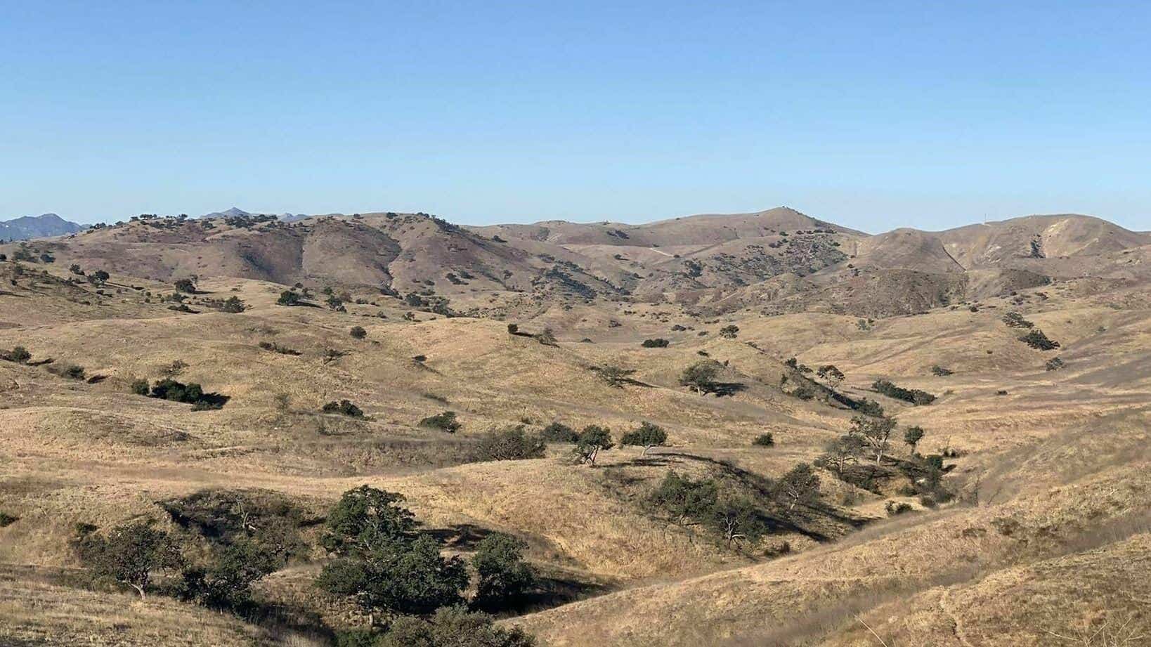
https://www.alltrails.com/explore/trail/us/california/laskey-mesa-trail Hello fellow hikers....Gonna be Hiking Laskey Mesa Trail. This trail is actually named Lasky Mesa it goes through the Santa Monica Mountains and also connects with Upper Las Virgenes Canyon. This is more of a open space trail with little shade. It's rated moderate but the elevation gain is 620 so it should have […]

Mount Gleason Trail!

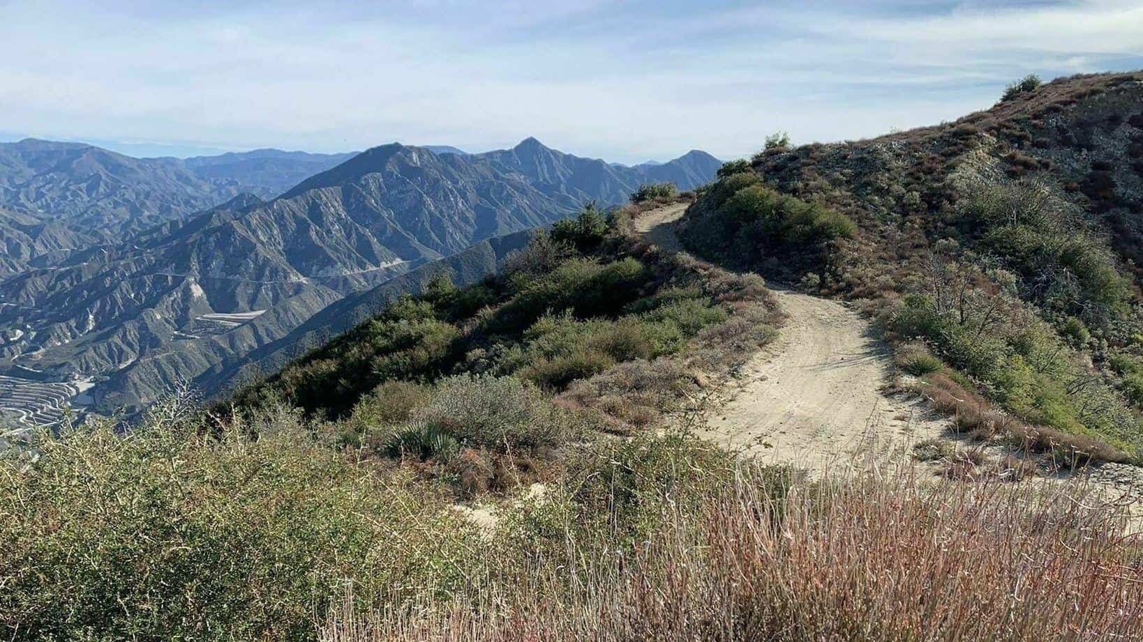
Okay all you backpackers and peak baggers this one's for you. Hiking a little known trail called Mount Gleason. This is a loooong one (18 miles) But the elevation gain is only 3152 which makes this an excellent conditioning hike. Time to weigh down your gear if your looking to train for your backpack adventures […]

Simi Peak Trail

Lindero Canyon Road Lindero Canyon Rd, California, CA, US

https://www.alltrails.com/trail/us/california/simi-peak-trail?u=i Hello Fellow Hikers....Hiking Simi Peak in the Santa Monica Mountains from Oak Park. This route is less miles to the peak with a good amount of elevation gain. Meaning this is a good workout without feeling like you have over done it.. ; ) Once on the peak your rewarded with a flag and […]

Mount Lukens via Stone Canyon

Stone Canyon Trailhead 2408 Stonyvale Rd, Tujunga, CA, US

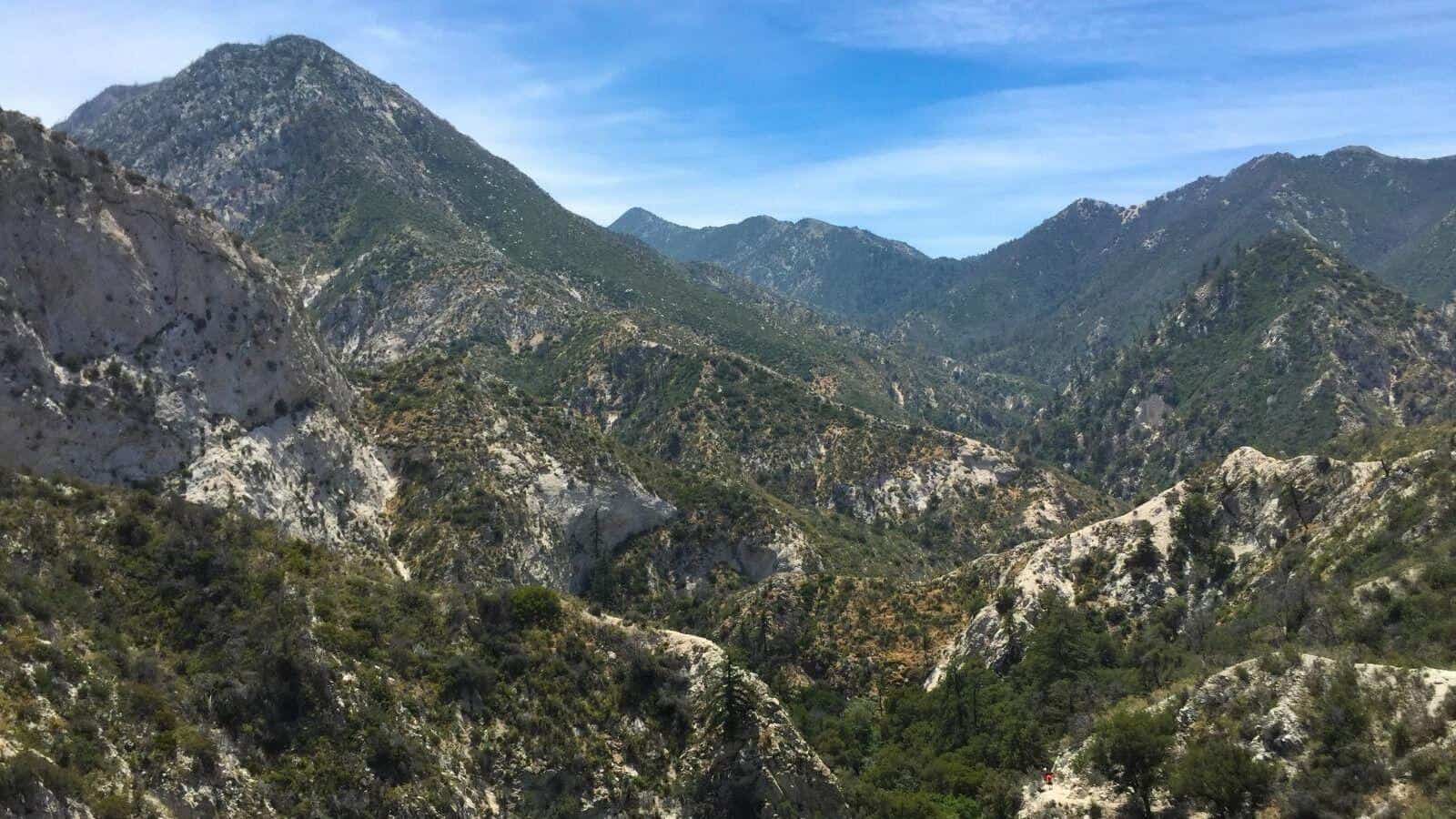
https://www.alltrails.com/trail/us/california/mount-lukens-via-stone-canyon Okay this should be a good one...This is considered the most challenging route to Mount Lukens which is the tallest peak in Los Angeles. With mileage at 7.9 and elevation gain 3293 we will be doing more incline with less level sections. This is a excellent training hike with views all the way to […]

Tapo Canyon Trail

Tapo Canyon Road Tapo Canyon Rd, Simi Valley, CA, US

https://www.alltrails.com/trail/us/california/tapo-canyon-trail?u=i Hello fellow hikers,Join me for a easier moderate hike on Tapo Canyon Trail in Simi Valley. This hike has a nice gradual walk until we start a gradual climb were we will start our loop. We should encounter wildflowers and mountain views. Our loop will drop down then we will continue until we start […]

Mount McKinley via Gold Creek

Boulder Canyon Trail Sylmar, CA, US

https://www.alltrails.com/trail/us/california/mount-mckinley-via-gold-creek Hello fellow Hikers...Okay got another little known trail in the western San Gabriel Mountains located in Sylmar/Sunland area called Mount McKinley. This trail is a moderate climb on a fireroad until we hit a turn off to start our climb towards the top. This is where the hard rating comes in. From here will […]

Tapo Canyon Trail

Tapo Canyon Road Tapo Canyon Rd, Simi Valley, CA, US

https://www.alltrails.com/trail/us/california/tapo-canyon-trail?u=i Hello fellow hikers,Join me for a easier moderate hike on Tapo Canyon Trail in Simi Valley. This hike has a nice gradual walk until we start a gradual climb were we will start our loop. We should encounter wildflowers and mountain views. Our loop will drop down then we will continue until we start […]

San Dimas Canyon to Sunset Peak Radio Towers

San Dimas Canyon Dam Area 9865 N San Dimas Canyon Rd, La Verne, CA, US

https://www.alltrails.com/trail/us/california/san-dimas-canyon-to-sunset-peak-radio-towers?u=i Hello Fellow Hikers,Are you looking to get out and hit a challenging hike but don't want to hit the popular peak hikes on the weekends? Yeah me neither. So join me on this less traveled but good distance with elevation gain hike. This trail starts off going up with switchbacks for the first 4 […]

Rocky Peak Trail to the Peak

Rocky Peak Trailhead Rocky Peak Rd, Simi Valley, CA, US

Hello fellow Hikes,This is my favorite local hike. This has the perfect amount of elevation gain with views to make this a great hike. Not a long trail so you can get in a great workout and still go and enjoy the rest of your day. This trail is a nice wide trail that starts […]

[asa2_collection tpl=”Flex_1″ orderby=”rand” limit=”4″]2[/asa2_collection]

Trail statistics are approximate. For safety purposes always assume they are underestimated. But don’t be disappointed if they are overestimated. Bring more water and snacks than you think you’ll need.

Trail descriptions are based on previous hikes. Current conditions are unknown until arrival. Expect the unexpected and plan accordingly.

The Organizers and members of Hiking With Dean are not professional leaders, guides, or mountaineers. The function of the member or organizer is only to organize the trip. Each person who shows up for a trip/meetup (and their guest or guests) is responsible for his or her own safety. By attending a hike, or any other event organized by this group, you are acknowledging that you and any guests that you bring are aware of the risks, dangers and hazards associated with the activity and freely accept and fully assume all such risks, dangers and hazards, and further agree to release and discharge the Organizers, Members of the Hiking With Dean Meetup Group from and against any and all liability arising from your participation in the group activities per our ASSUMPTION OF RISK AND LIABILITY WAIVER and Section 6.2 of the Meetup.com Terms of Service.