Site Search

Ventura County Day Hikes

Arroyo Conejo to Lynnmere Trail

Arroyo Conejo trailhead 1654 N Ventu Park Rd, Thousand Oaks, CA, US

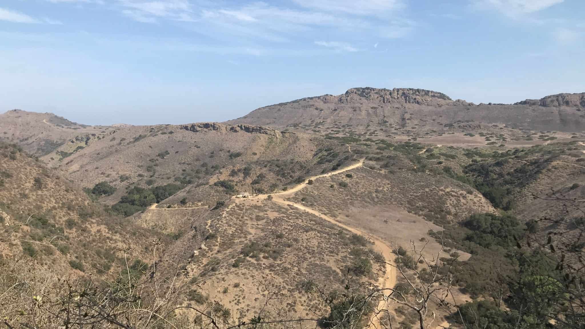
https://www.alltrails.com/trail/us/california/arroyo-conejo-to-lynnmere-trail Hello Fellow Hikers,Okay this trail has a lot of great reviews with many people saying it offers several different sights from mountains to creeks to shaded sections and wide open views. this trail is a loop with a short out and back. Will go through both Arroyo Conejo Open Space and Lynnmere Open Space. […]

Three Sisters Rock via PCT

7601 Soledad Canyon Rd 7601 Soledad Canyon Rd, Acton, CA, US

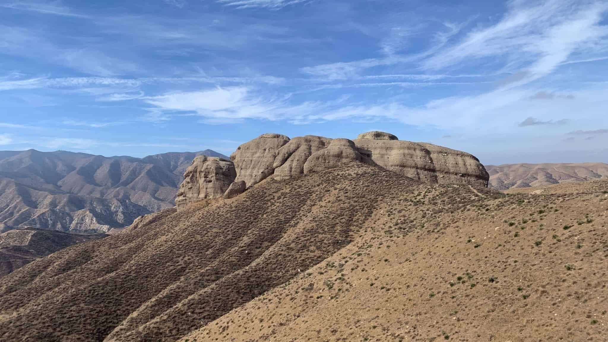
https://www.alltrails.com/trail/us/california/three-sisters-rock-via-the-pct Hello Fellow Hikers,Unique Hike here! Yes this one is different! This huge rock formation looks more like your in New Mexico then Cali. And yes will be on the PCT with a PCT marker on the trail. We will take the trail all the way to the Three Sisters Rock formation. The trail is […]

Elliot Peak via Western Plateau

Conejo Canyons Trail Head 2010 Conejo Center Dr, Thousand Oaks, CA, US

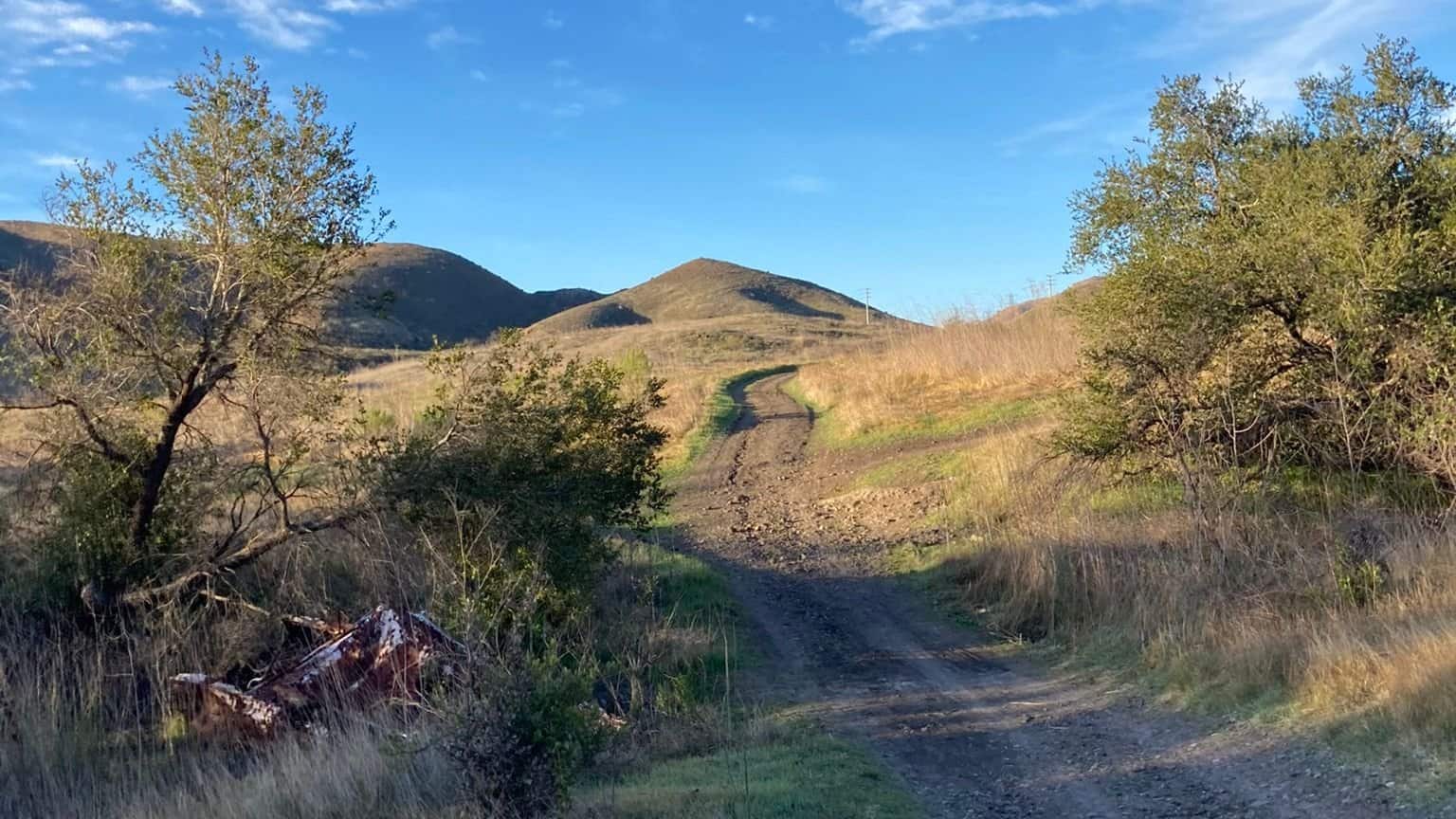
https://www.alltrails.com/trail/us/california/elliott-peak-via-western-plateau-trail Hello Fellow Hikers,This is another popular area which makes it nice to hit on a weekday. It's popular as the scenery has a little of everything. Open views a peak and easy trails to follow. The incline is doable and gratual. Will be doing a small loop with most being out and back. I […]

Pacific Crest Trail to Spunky Canyon

Seasonal Water Point PCT Santa Clarita, CA, US

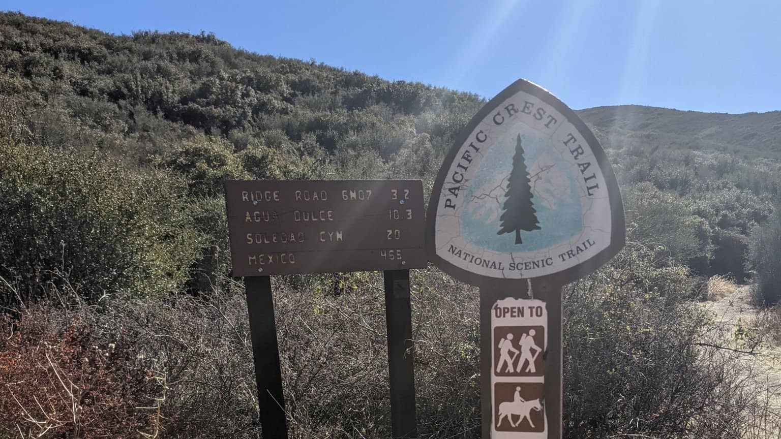
https://www.alltrails.com/trail/us/california/pacific-crest-trail-to-spunky-canyon Hello Fellow Hikers,Will be hiking on the Pacific Crest Trail through Spunky Canyon. This is a less traveled area except for through PCT hikers. This trail is for hikers or horses only. This is a beautiful area thats is almost always green due to higher elevation and cooler temps. An Adventure pass is needed […]

Sisar Canyon to White Ledge Campground

Sisar Canyon trailhead Sisar Canyon Rd, Ojai, CA, US

Let’s go for a hike. It’s about 11 miles to white ledge and back. I will be parking at the market. You can find the description on AllTrails Sisar Canyon Road to White Ledge Campground on AllTrailshttps://www.alltrails.com/trail/us/california/sisar-canyon-road-to-white-ledge-campground

Rex The Towers and Elliot peak

Conejo Canyons Trail Head 2010 Conejo Center Dr, Thousand Oaks, CA, US

Hello Fellow Hikers, Will be hitting three peaks on this one. Jonathan will be our event leader and we will be following his route that will take us to Rex and the Towers and Elliot peak. Expect a workout. The area is still so green and the wild flowers are everywhere now. But the views […]

Wildwood Canyon Trail Loop

Mesa Trail Mesa Trail, Thousand Oaks, CA, US

https://www.alltrails.com/trail/us/california/wildwood-canyon-trail-loop Hello Fellow Hikers, It's St Patty's day!! Yes so why not hit a trail and burn some calories before you head out for a big meal or green beer? This is a great trail as this route offers a little of everything. You have the waterfall plus a cave the creek, open views plus […]

Latigo Canyon to Tapia Park

Newton Canyon Parking Lot Kanan Dume Rd, Malibu, CA, US

https://www.alltrails.com/trail/us/california/latigo-canyon-to-tapia-park Hello Fellow Hikers, Woo hoo first day of Spring! I have been delaying the schedule as the weather keeps changing from possible rain to a slight chance. But why not take a chance I mean it's Spring! Okay now for the trail info...Okay this one should give us a little of everything from wild […]

Tapo Canyon Trail

Tapo Canyon Road Tapo Canyon Rd, Simi Valley, CA, US

https://www.alltrails.com/trail/us/california/tapo-canyon-trail?u=i Hello fellow hikers, The heat is here but we still need to keep moving so the goal is to hit this trail (which has partial shade ) and be back at our cars before it gets to hot... so... (weather shows 90 degrees so will start at 8am and be back to our cars […]


Trail statistics are approximate. For safety purposes always assume they are underestimated. But don’t be disappointed if they are overestimated. Bring more water and snacks than you think you’ll need.

Trail descriptions are based on previous hikes. Current conditions are unknown until arrival. Expect the unexpected and plan accordingly.

The Organizers and members of Hiking With Dean are not professional leaders, guides, or mountaineers. The function of the member or organizer is only to organize the trip. Each person who shows up for a trip/meetup (and their guest or guests) is responsible for his or her own safety. By attending a hike, or any other event organized by this group, you are acknowledging that you and any guests that you bring are aware of the risks, dangers and hazards associated with the activity and freely accept and fully assume all such risks, dangers and hazards, and further agree to release and discharge the Organizers, Members of the Hiking With Dean Meetup Group from and against any and all liability arising from your participation in the group activities per our ASSUMPTION OF RISK AND LIABILITY WAIVER and Section 6.2 of the Meetup.com Terms of Service.