Site Search

Ventura County Day Hikes

Cozy dell- foothill trail

Cozy Dell Trailhead - (23W26) 14912 Maricopa Highway, Ojai, CA (edit map) Cozy Dell Trailhead - (23W26) 14912 Maricopa Highway, Ojai, CA (edit map), Ojai, CA, US

We will park at the trailhead. Head up cozy dell. Loop around magic mtn, up the Pratt trail and back down cozy dell. Estimate 7.5 miles

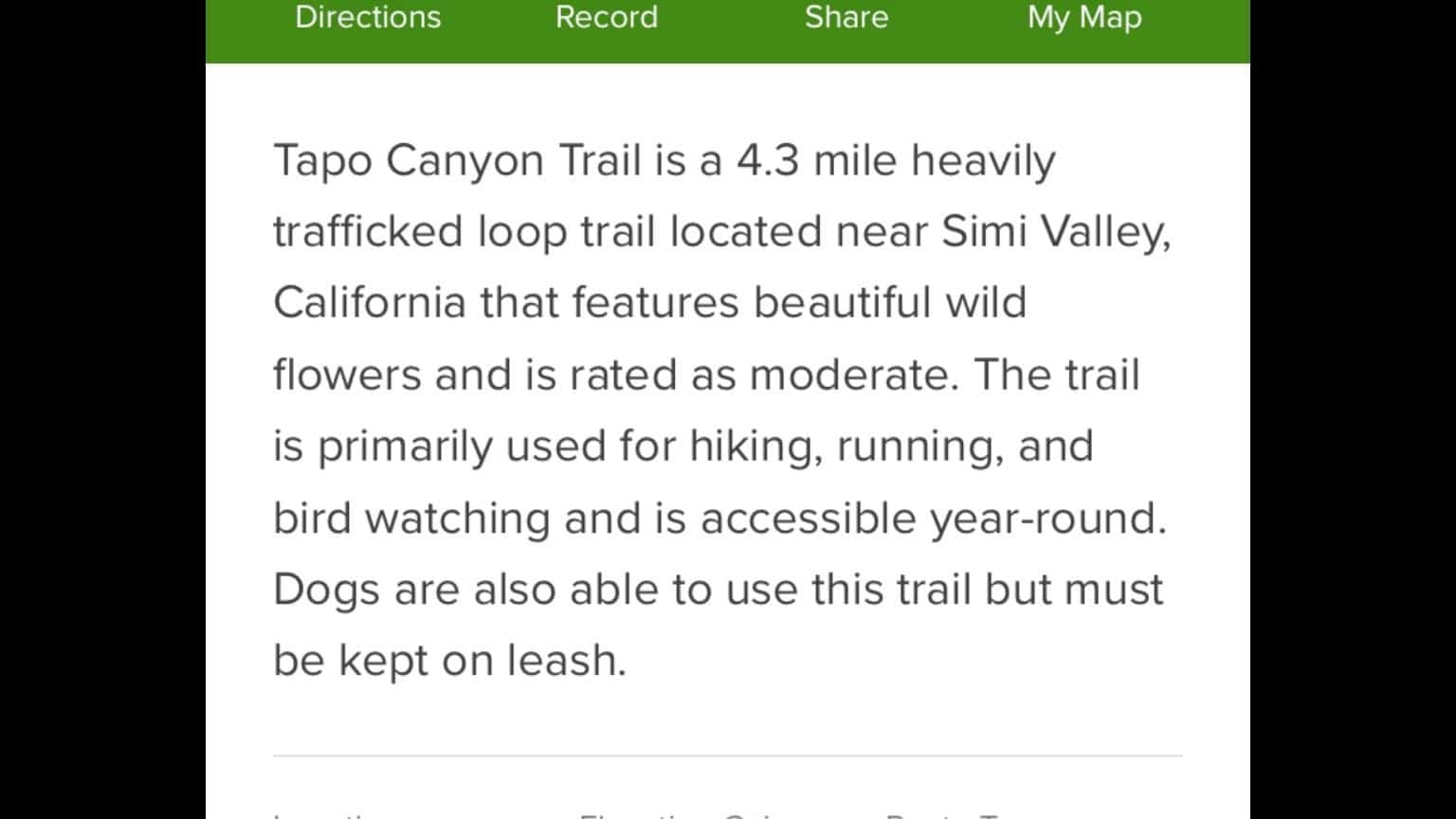
Tapo canyon trail

Tapo Canyon Trailhead 3803 Tapo Canyon Road, Simi Valley, CA, US

See photo above

Harmon cyn

Missionary Church 500 High Point Drive, Ventura, CA, US

If it's not raining. I’m going to just go for a stroll up and back- 5-7 miles. Enter the parking lot from the eastern driveway of missionary church on foothill. Just putting in some work.

Mt McCoy peak 1340

Stargaze Park 355 Stargaze Ave, Simi Valley, CA, US

Park at the north end of Stargaze in Simi Valley. We will hike south up to Mt McCoy the back way then over to 1340 6ish miles

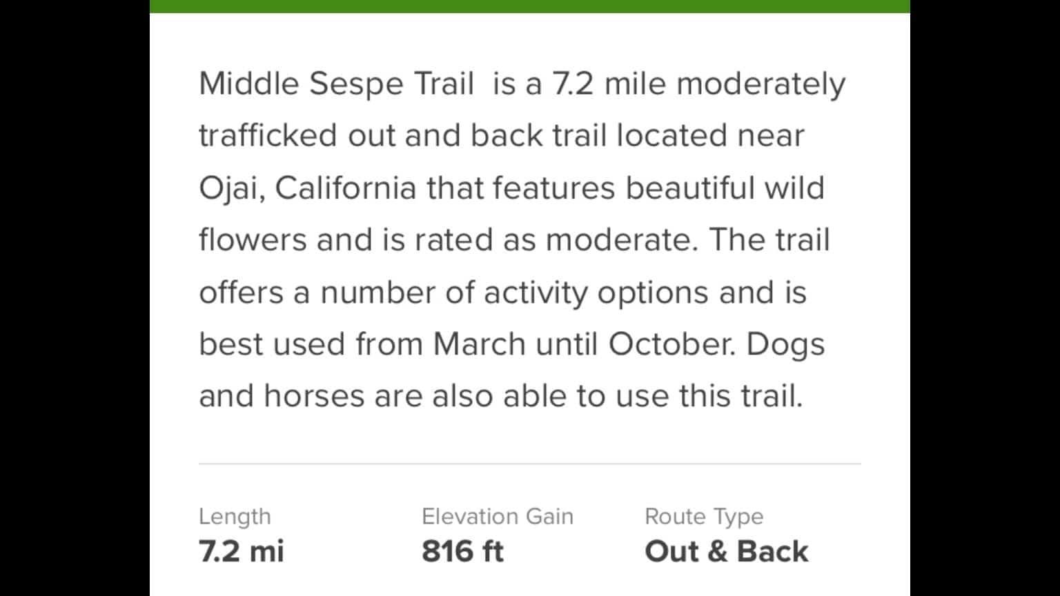
Middle Sespe

Piedra Blanca Trailhead Forest Route 5N24, Ojai, CA, US

Meet at the piedra Blanca trailhead. Some bushwhacking and ticks are present so prepare yourself

Rose-Lion Connector

Middle Lion Campground 19786 Forest Rte 6N31, Ojai, CA, US

We will meet at the intersection of Rose Valley rd and the road to the middle lions campground. Hike to the falls, then reverse course and take a connector trail to middle lions camp. We will climb up to the Forest Service road and back to Rose Valley road- 8 miles

Mount Clef , CLU hill and maybe mount clef ridge

Santa Rosa Trailhead Mountclef & Olsen, Thousand Oaks, CA, US

Park in the neighborhood off of Magellan and Mount Clef. Mainly good trail. If we do the ridge there is some scrambling. 8 miles

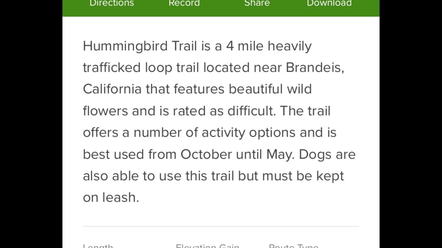
Hummingbird trail

Hummingbird Trail 2325 Kuehner Drive, Simi Valley, CA, US

See photo for description. There is a peak just off the trail that you KNOW we are gonna tag.

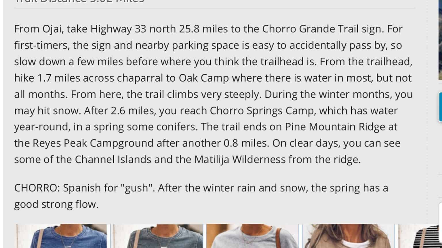
Chorro Grande

Chorro Grande Canyon Chorro Grande Canyon, Ojai, CA, US

See photo above. This is listed as a hard hike


Trail statistics are approximate. For safety purposes always assume they are underestimated. But don’t be disappointed if they are overestimated. Bring more water and snacks than you think you’ll need.

Trail descriptions are based on previous hikes. Current conditions are unknown until arrival. Expect the unexpected and plan accordingly.

The Organizers and members of Hiking With Dean are not professional leaders, guides, or mountaineers. The function of the member or organizer is only to organize the trip. Each person who shows up for a trip/meetup (and their guest or guests) is responsible for his or her own safety. By attending a hike, or any other event organized by this group, you are acknowledging that you and any guests that you bring are aware of the risks, dangers and hazards associated with the activity and freely accept and fully assume all such risks, dangers and hazards, and further agree to release and discharge the Organizers, Members of the Hiking With Dean Meetup Group from and against any and all liability arising from your participation in the group activities per our ASSUMPTION OF RISK AND LIABILITY WAIVER and Section 6.2 of the Meetup.com Terms of Service.