Site Search

Santa Clarita Community Hiking Club

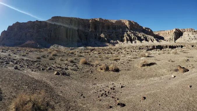
Ridge Loop through Nightmare Gulch, Red Rock Cyn (CANTIL/MOJAVE), all day event

See Directions Below See Directions Below, Santa Clarita, CA, US

Saturday, January 14, 2023 - ALL DAY HIKE - Ridge Loop through Nightmare Gulch, Red Rock Canyon, Cantil CA - a FULL DAY DESERT ADVENTURE ***** RAIN OR SNOW FALLING AT TRAILHEAD CANCELS THIS HIKE ****** !!!NOTE: Read details carefully. Distance: ~ 9 miles Gain/ Loss: ~ 1250' / 1179', however we start at 2600' […]

DAGGER FLAT TRAIL RECONSTRUCTION – Volunteer Opportunity

Saugus to the Sea Road Saugus to the Sea Rd, Santa Clarita, CA, US

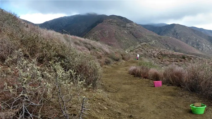
******** THIS IS NOT A HIKE *********** *** RAIN, SNOW OR EXCESS HEAT AT WORK SITE WILL CANCEL EVENT ** Join Dianne for some trail clean up of the DAGGER FLAT TRAIL - No experience required! We're currently building stairs on the trail....a fun thing to do, and you can see results in one day! […]

NEW Lollipop: PCT- Spruce Draw – to Lake Hughes Truck Trail – PCT

41289 San Francisquito Canyon Rd 41289 San Francisquito Canyon Rd, Santa Clarita, CA, US

NEW Lollipop: PCT to Spruce Draw then hiking the Leona Divide Fire Rd west to the intersection of Lake Hughes Truck Trail; We will take a snack break at the Intersection then return counter-clock wise hiking east on the PCT back to our cars on San Francisquito Cyn Rd. DISTANCE / GAIN: ~ 8.5 miles […]

Santa Barbara Beach Walk

Santa Barbara Museum of Natural History Sea Center 211 Stearns Wharf, Santa Barbara, CA, US

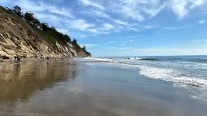
Our first stop, meet me at 9:45AM just outside the Santa Barbara Museum Sea Center 211 Stearn’s Wharf, Santa Barbara Drive onto Stearn’s Wharf, and the Sea Center is to your left. Public parking on Stearns Wharf is free for the first 90 minutes with ticket validation. Admission is $13/adult. ($11/senior) Our second stop,​meet me […]

Piedra Blanca Trailhead to Pine Mountain Lodge Campground – All Day Event

Piedra Blanca Trailhead Rose Valley Road, Ojai, CA, US

Distance : 12.2 miles out and back Elevation Gain : about 2,800 ft. Difficulty: Strenuous due to distance Total Hike Time : 6 hours The iconic rock formations of the Piedra Blanca stretch approximately one mile east to west. As we pass through these massive sandstone giants you will see many hidden rock caves. The […]

CONDOR CLEAN UP near the St. Francis Dam Memorial

See Directions Below See Directions Below, Santa Clarita, CA, US

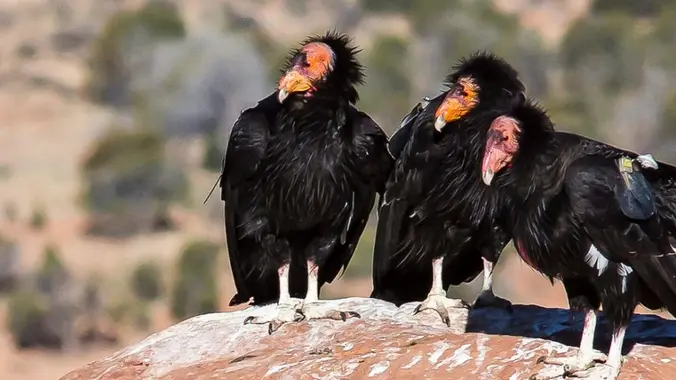
THIS IS CHC STEWARDSHIP VOLUNTEER EVENT, IT IS NOT A HIKE * Sunday, March 20, 2022 - CONDOR CLEAN UP in the St. Francia Dam area, near Santa Clarita Description: We need your help to pick up broken shards of glass in the lower section of the St. Francis Dam National Monument. There are 400 […]

Kagel Mountain via Dillon Divide – Out and Back – Conditioning hike

Kagel Mountain Trailhead Kagel Canyon, CA, US

***** RAIN OR SNOW FALLING AT TRAILHEAD CANCELS THIS HIKE ****** About the hike: Conditioning Hike. Moderate (for the Gain and distance) Kagel Mountain is a small mountain located in the San Fernando Valley above Sylmar. It is know as a great place to hang glide and we will be hiking out and back to […]

NEW Lollipop: PCT- Spruce Draw – to Lake Hughes Truck Trail – PCT

41289 San Francisquito Canyon Rd 41289 San Francisquito Canyon Rd, Santa Clarita, CA, US

NEW Lollipop: PCT to Spruce Draw then hiking the Leona Divide Fire Rd west to the intersection of Lake Hughes Truck Trail; We will take a snack break at the Intersection then return counter-clock wise hiking east on the PCT back to our cars on San Francisquito Cyn Rd. DISTANCE / GAIN: ~ 8.5 miles […]

9.5 miles (1 way with shuttle) – Vasquez Rocks to Indian Cyn on PCT

Indian canyon Trailhead 9001 soledad Canyon road, Agua Dulce, CA, US

Saturday, April 8th , 2023 - Vasquez Rocks to Indian Cyn on Pacific Crest Trail, 1 way w/ shuttle Meet at: Indian Canyon trailhead, details below. Start Hike: We will consolidate at Indian Canyon and shuttle to Vasquez Rocks where we will start the hike, details below. Length: 9.5 miles Gain/ Loss: ~ 1273' / […]

[asa2_collection tpl=”Flex_1″ orderby=”rand” limit=”4″]2[/asa2_collection]

Trail statistics are approximate. For safety purposes always assume they are underestimated. But don’t be disappointed if they are overestimated. Bring more water and snacks than you think you’ll need.

Trail descriptions are based on previous hikes. Current conditions are unknown until arrival. Expect the unexpected and plan accordingly.

The Organizers and members of Hiking With Dean are not professional leaders, guides, or mountaineers. The function of the member or organizer is only to organize the trip. Each person who shows up for a trip/meetup (and their guest or guests) is responsible for his or her own safety. By attending a hike, or any other event organized by this group, you are acknowledging that you and any guests that you bring are aware of the risks, dangers and hazards associated with the activity and freely accept and fully assume all such risks, dangers and hazards, and further agree to release and discharge the Organizers, Members of the Hiking With Dean Meetup Group from and against any and all liability arising from your participation in the group activities per our ASSUMPTION OF RISK AND LIABILITY WAIVER and Section 6.2 of the Meetup.com Terms of Service.