Site Search

San Diego Backpackers

San Gorgonio Peak/Dry Lake via South Fork

Trailer Canyon Fire Road Trailer Canyon Fire Rd, Los Angeles, CA, US

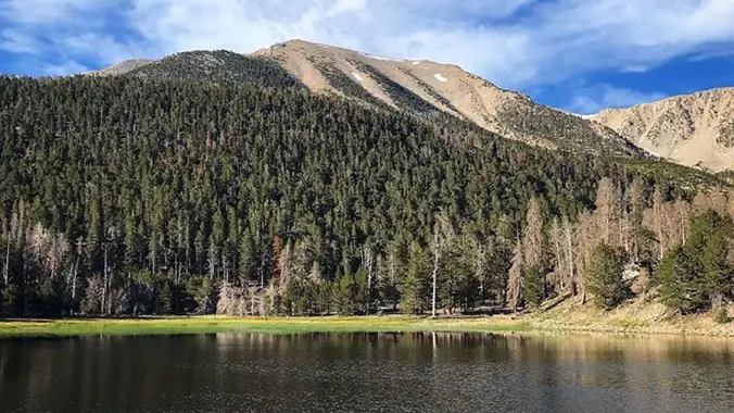
San Gorgonio Mountain is the tallest peak in Southern California (11,502 feet) We will be taking the South Fork Trail to Dry Lake. We will be camping near Dry Lake. Depending on weather conditions, we might need mircro spikes or crampons. Possibly snow at higher elevation. So San Gorgonio Peak will be optional. Miles: 22 […]

Cottonwood Lakes Overnight Trip (with optional ascent of Mt. Langley)

Cottonwood Lakes Trail Head California, CA, US

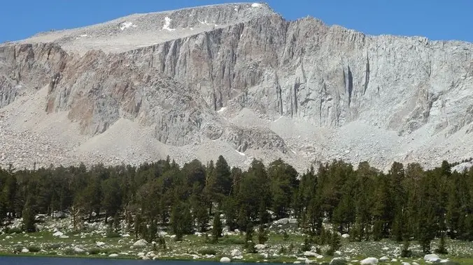
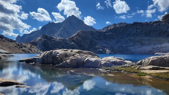
The Cottonwood Lakes are a great introduction to the high Sierras, very easy to access and relatively close to San Diego. Looks like it's still quite snowy up there. Pictures from 2021 (much less snowy!): https://www.meetup.com/sandiegobackpackers/events/278793005/ Snow depth: https://www.nohrsc.noaa.gov/interactive/html/graph.html?ey=2023&em=6&ed=16&units=0&station=CWDC1 Weather (still unseasonably cold, hopefully it will be warm up): https://forecast.weather.gov/MapClick.php?lon=-118.21492172105822&lat=36.49599812734478 BEAR CANISTER (or Ursack) REQUIRED […]

Yosemite 4 Day Trip

Lyell Canyon Trailhead California, CA, US

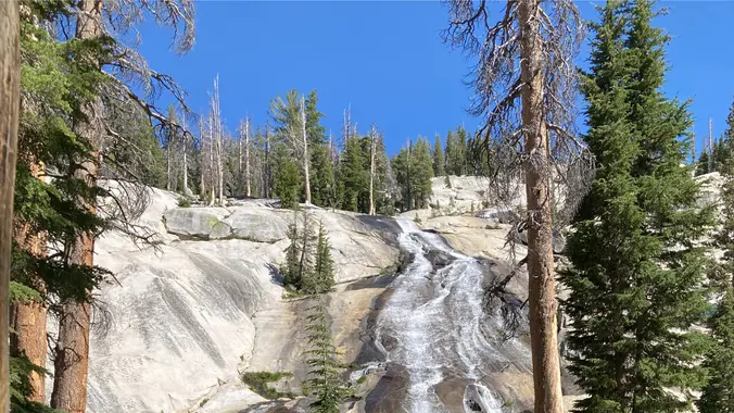
The snow is finally melting and hopefully Tioga pass will be open. This is a 4 day/3 night loop. The Route 32 miles 7100 feet Current plan: Day 0 (Thursday): Camp at one of the campground along Tioga Pass Rd. (backpackers camp in Tuolumne meadows is closed) Night 1: Nelson Lake Night 2: Merced Lake […]

Kearsarge Lakes (Bullfrog Lake)

Carpinteria Bluffs Trailhead 6145 Carpinteria Ave, Carpinteria, CA, US

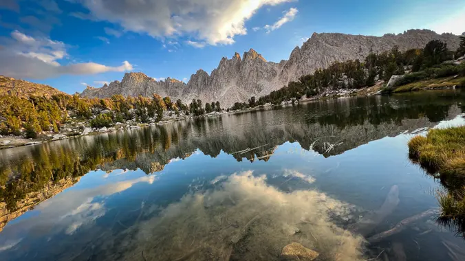
Get to know this 12.4-mile out-and-back trail near Independence, California. Generally considered a challenging route. Day 1. We will hike to Kearsarge Lakes and setup a basecamp. Go fishing or explore the lakes. Day 2. Day hike to Bullfrog Lake/ Charlotte Lake (optional) Day 3. Pack up and hike out Days: 3/2 nights Rating: (Moderate/Strenuous) […]

Sawtooth Pass – Little 5 – Big 5 lakes loop (Mineral King)

Carpinteria Bluffs Trailhead 6145 Carpinteria Ave, Carpinteria, CA, US

Mineral King is a subalpine glacial valley located in the southern part of Sequoia National Park, in the U.S. state of California. The valley lies at the headwaters of the East Fork of the Kaweah River, which rises at the eastern part of the valley and flows northwest. 3 open spots available Dates: Aug 22-25, […]

Dusy and Evolution Basins

Bishop Pass Trailhead S Lake Rd, Bishop, CA, US

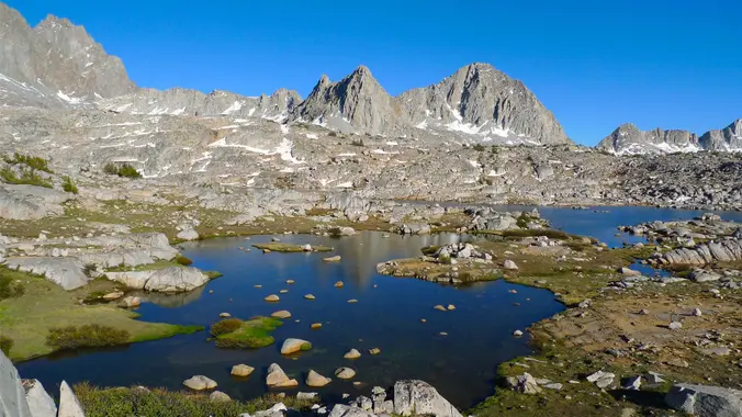
I snagged a permit for Bishop Pass. Should be a beautiful high Sierra trip! Planning on doing a 12mi car shuttle (hike from South Lake to North Lake). Day 0 (Friday) Hopefully find some place to camp near the trailhead. Could be tough because it's a holiday weekend. Day 1 (Saturday) South Lake to Dusy […]

Day Hike Hellhole Canyon to Maidenhair Falls

Anza-Borrego Desert State Park East of, San Diego, CA, US

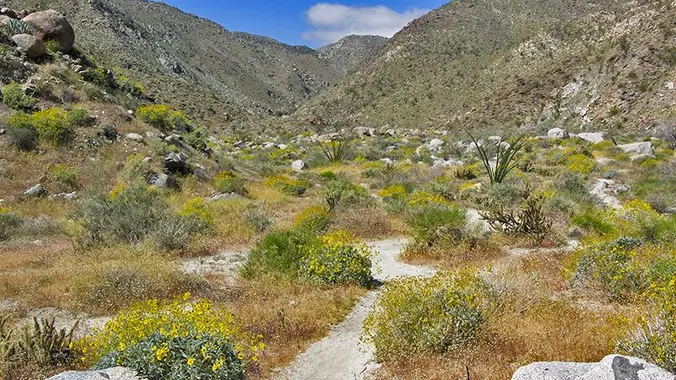
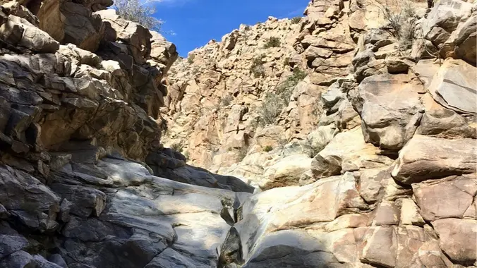
DAY HIKE Trailhead address: Montezuma Valley Road (Route S22), Anza-Borrego Desert State Park, Borrego Springs, CA 92004 Trailhead coordinates: 33.248037, -116.40594 Difficulty: Moderate 5.5 miles roundtrip and 1,000 feet of elevation gain. Mandatory rock scrambling with faint trail. Description: Hellhole Canyon is an exposed hike with no shade. 1,000 feet of elevation gain. There is […]

Joshua Tree – Boy Scout Trail to Smith Water Canyon

Anza-Borrego Desert State Park East of, San Diego, CA, US

Desert season is here! I haven't been on either of these trails but I did the Joshua Tree section of the California Riding and Hiking Trail last year and I'd like to explore more of the park. Smith Water Canyon is a cross country route (NO TRAIL) with scrambles up dry falls. Route requires a […]

Rockhouse Canyon Anza Borrego

Rockhouse Trailhead Parking Borrego Springs, CA, US

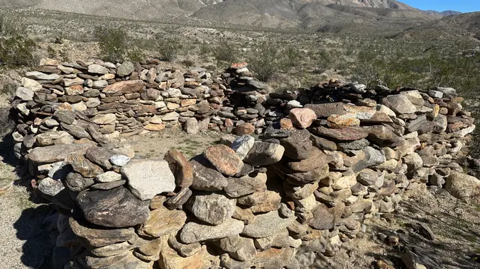
Overnight trip up Rockhouse Canyon Did this last year and found the spring! Hike up Rockhouse Canyon to a wonderful campsite among the cottonwoods. Description from Afoot and Afield: Rockhouse Canyon and the broad, sloping alluvial basin drained by it-informally known as Rockhouse Valley -constitute one of Southern California's truly forgotten places. Prior to the […]


Trail statistics are approximate. For safety purposes always assume they are underestimated. But don’t be disappointed if they are overestimated. Bring more water and snacks than you think you’ll need.

Trail descriptions are based on previous hikes. Current conditions are unknown until arrival. Expect the unexpected and plan accordingly.

The Organizers and members of Hiking With Dean are not professional leaders, guides, or mountaineers. The function of the member or organizer is only to organize the trip. Each person who shows up for a trip/meetup (and their guest or guests) is responsible for his or her own safety. By attending a hike, or any other event organized by this group, you are acknowledging that you and any guests that you bring are aware of the risks, dangers and hazards associated with the activity and freely accept and fully assume all such risks, dangers and hazards, and further agree to release and discharge the Organizers, Members of the Hiking With Dean Meetup Group from and against any and all liability arising from your participation in the group activities per our ASSUMPTION OF RISK AND LIABILITY WAIVER and Section 6.2 of the Meetup.com Terms of Service.