Site Search

Hiking Calendar

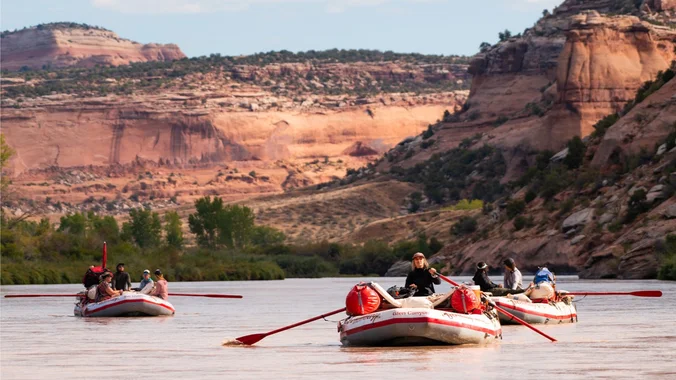
COLORADO: Raft Ruby/Horsetheif Canyon to UTAH

Rimrock Adventures Colorado 340 927, Fruita, CO, United States

Bucket list trip! This is not a hiking or backpacking trip. This is an overnight rafting trip on the Colorado River. Permits for this trip are released two months in advance. Looking to coordinate with boaters from past trips to better suit the availability of those who have been looking forward to rafting and to […]

Early Morning Hike at Aliso and Wood Canyons Park – Up Cholla, Down Mathis

Canyon View Staging Area 22124 Utility Access, Aliso Viejo, CA, US

We are going to be starting at the Canyon View Staging Area. This hike will be about 6.2 miles with around 1,000 ft. of elevation gain. We will be starting at Canyon View Park and taking Cholla up to West Ridge and comic down Mathis. Link to Parking from Google Maps: https://www.google.com/maps/place/Canyon+View+Staging+Area/@33.585273,-117.7465062,17z/data=!3m1!4b1!4m5!3m4!1s0x80dce61b6bd45c2d:0x5ef3f1ad687cc8b5!8m2!3d33.585273!4d-117.7443175 Dogs are not […]

Mt. Pinos plus 🤓

Mt. Pinos Nordic Base Cuddy Valley Rd, Frazier Park, CA, US

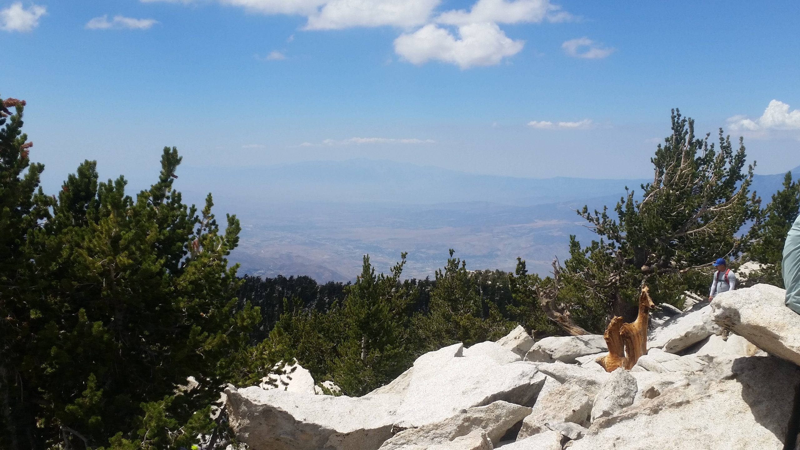
3 peaks 2 litter of water 8 miles or so Hike starts at 8am at the trail head However some of us will meet at Smart & Final on white ln at 7am Click on the link for more info of the hike Pinos, Sawmill, and Grouse Mountain via Condor Summit Trail on AllTrails https://www.alltrails.com/trail/us/california/pinos-sawmill-and-grouse-mountain-via-condor-summit-trail?sh=qfndye&utm_medium=trail_share&utm_source=alltrails_virality

Yosemite Camping @Upper Pines 🌲Campground 🏕️ Of Course, Some Hiking 🥾 too!

Will Rogers State Beach Pacific Coast Highway & Temescal Canyon Road, Pacific Palisades, CA, US

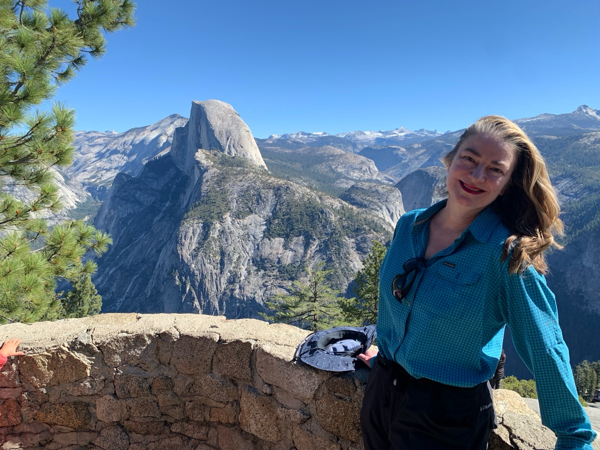
Camping at Yosemite Upper Pines Campground for 3 nights! 🎉
And, of course, there will be hiking 🥾 and other activities 🎣🚴‍♀️🚣🧗‍♀️
 Some will be doing Half Dome 🏞️ (Steven Thomsen will be your contact for the Half Dome permits, he is in charge of that!) Feel free to text or call Steven with any questions […]

Angel Vista – Full Moon Potluck hike

Rosewood Trailhead 305 Regal Oak Ct, Thousand Oaks, CA, US

Start at 5pm due to the heat and the moonrise time. 3.0 miles, 800' gain, easy-intermediate. Moonrise 5:46 pm Photo by Helen Let's enjoy the gorgeous sunset, full moon, and fun loaded potluck picnic at the beautiful Angel Vista! This is a potluck hike. Please bring food, drinks to share. If your item requires utensils/plates/toothpicks, […]

Hill Canyon up to Lizards Rock

Hill Canyon Trailhead Hill Canyon Rd, Camarillo, CA, US

This is a second hike for Thursday starting at 8:30. We will start at Santa Rosa parking lot, cross the bridge over the water and hike down to the new bridge. We will cross the new bridge and hike up to Lizards Rock. Maybe we will run into the other hikers who are going to […]

Hondo Canyon to Saddlepeak ~ Intermediate Hike

Hondo Canyon Backbone Trailhead 454-476 Old Topanga Canyon Road, Topanga, CA, US

We are limiting this hike to 15 due to the limited parking on Old Topanga Road. Please carpool if possible. This stretch of the Backbone Trail travels between Old Topanga Canyon Road and Saddle Peak Road. It is a steady climb for 3.67 miles with 1550 feet of gain (all downhill on the return trip!). […]

Long Canyon – Easy cc lollipop – the back way

572 Bannister Way 572 Bannister Way, Simi Valley, CA, US

4.3 miles, 800' gain, Easy Intermediate. Easier Option: 3.2 miles, 400' gain, Fit Beginner. The address is not the address of the hike, but a nearby address that should get you to pass by the trailhead. The "cc" in the title means counter clockwise. We'll be stopping at various points to regroup. We will start […]

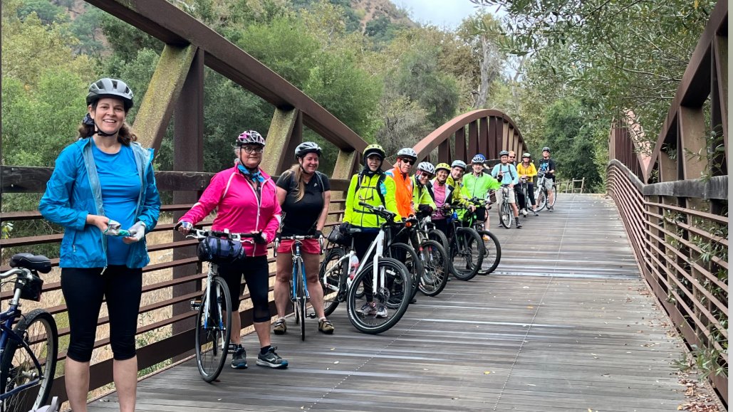
36 MILE RIDE – SAN BUEEANAVENTURA STATE BEACH TO OJAI AND BACK

San Buenaventura State Beach, Ventura, CA San Buenaventura State Beach, Ventura, CA, Moorpark, CA, US

The weather is finally cooling down...enough to do an Ojai ride!! We'll be leaving promptly at 9:15 am from Ventura. We won't be waiting for anyone who is late. If you find yourself arriving late for whatever reason, please drive to Foster Park where you can meet us. We should be there around 10 am. […]

[asa2_collection tpl=”Flex_1″ orderby=”rand” limit=”4″]2[/asa2_collection]

Trail statistics are approximate. For safety purposes always assume they are underestimated. But don’t be disappointed if they are overestimated. Bring more water and snacks than you think you’ll need.

Trail descriptions are based on previous hikes. Current conditions are unknown until arrival. Expect the unexpected and plan accordingly.

The Organizers and members of Hiking With Dean are not professional leaders, guides, or mountaineers. The function of the member or organizer is only to organize the trip. Each person who shows up for a trip/meetup (and their guest or guests) is responsible for his or her own safety. By attending a hike, or any other event organized by this group, you are acknowledging that you and any guests that you bring are aware of the risks, dangers and hazards associated with the activity and freely accept and fully assume all such risks, dangers and hazards, and further agree to release and discharge the Organizers, Members of the Hiking With Dean Meetup Group from and against any and all liability arising from your participation in the group activities per our ASSUMPTION OF RISK AND LIABILITY WAIVER and Section 6.2 of the Meetup.com Terms of Service.