

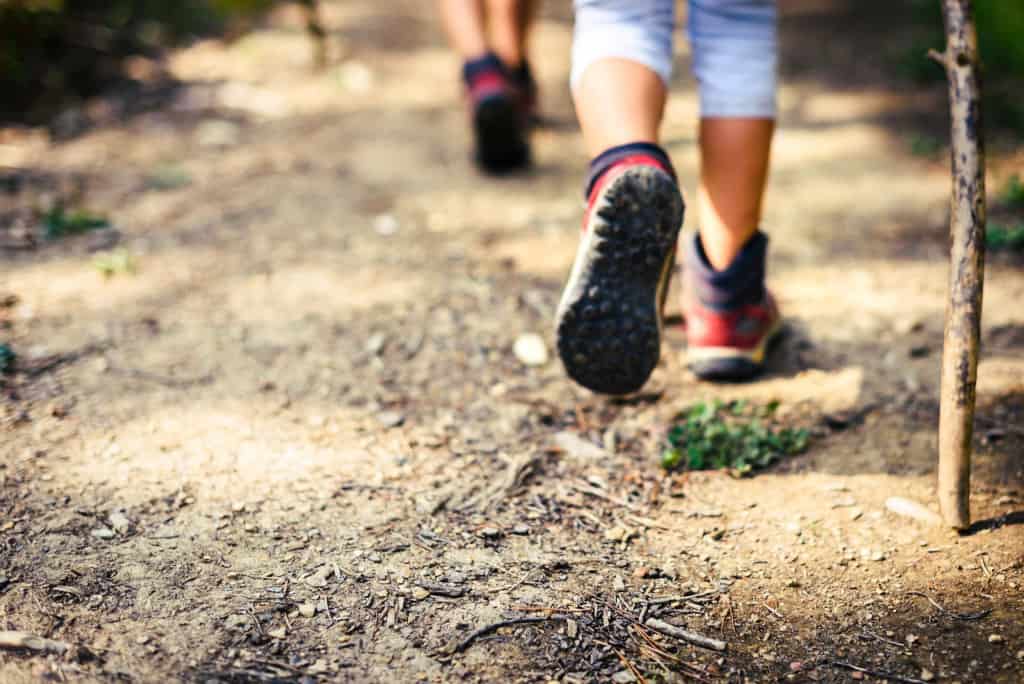
Advanced Intermediate Hikers. You should have Mt. Baldy Summit experience via the Backbone Trail beforehand.

Distance: 9 miles
Elevation Gain: ~4,000 ft.
Max elevation : 10,064 ft.
Rating: 8/10 Strenuous
Pace: Sauntering
Trail: Looped some pavement, fire roads, but mostly single track and rocky trails
ESSENTIALS:
2 Liters of water (Minimum)
Sunscreen
Hat
Snacks
Hiking Poles (Optional)
Layered clothing (possibly windy & chilly at the summit)
Money for ski lift (optional) and grub from The Notch
Check the Weather (http://www.wunderground.com/cgi-bin/findweather/hdfForecast?query=91759&searchType=WEATHER)
NOTE:
This is considered a high altitude hike and high altitude sickness, AKA acute mountain sickness, is a possibility. Good Physical health is important. The San Antonio Ski Hut/Baldy Bowl Trail is considered the most direct route to the summit of Mount Baldy (10,064′). This climb is considered strenuous.
As you start up the fire road you will soon enjoy views of the San Antonio Falls. Continuing on you will pick-up a use trail that climbs northwest along San Antonio Canyon through Jeffrey and Lodgepole Pines eventually reaching the San Antonio Ski Hut. From here you stand at the base of the Baldy Bowl with its dramatic ridgeline which ascends as much as 1600 feet over the Ski Hut. Most people will then cross the bowl and follow the switchbacks up through the trees. Once you reach the top of the bowl continue on up to the summit where you will enjoy fine views of the San Gabriel Mountains including Mount Baden-Powell, (http://www.summitpost.org/mountain/rock/150664/baden-powell.html)Iron Mountain, (http://www.summitpost.org/mountain/rock/150975/iron-mountain-1.html)Pine Mountain, (http://www.summitpost.org/mountain/rock/150950/pine-mountain.html)Dawson Peak, (http://www.summitpost.org/mountain/rock/196829/dawson-peak.html)Ontario Peak, (http://www.summitpost.org/mountain/rock/154873/ontario-peak.html) and many others. Looking south you will look down on the San Gabriel Valley and on exceptional days the Pacific Ocean and Catalina Island.
Mount San Antonio, also known as Old Baldy or Mount Baldy, at 10,068 ft, is the highest peak in the San Gabriel Mountains, and the highest point in Los Angeles County. The peak, which marks a boundary between San Bernardino County and Los Angeles County is called Baldy because of the absence of trees around the summit. Mt. Baldy is visible from much of Southern California and much of Southern California can be seen from it’s summit on a clear day. It is one of the most photographed objects of the Southern California landscape It’s snow covered peak has appeared on post cards and tourist literature for many years. There are four popular routes to the summit. All are considered moderate hikes of 8.5 to 13 miles round trip and anywhere from 3,600 feet to 6,000 feet of elevation gain.
PLEASE – Know your limits and abilities. Bring and drink plenty of liquids when hiking. Check weather conditions and dress accordingly and be aware of your surroundings at all times. Watching out for snakes, ticks, uneven footing, spectacular views, beautiful fauna all while carrying on a conversation with awesome (usually) fellow hikers can be extremely hazardous, rewarding and fun.
*******************************************************************
VHC HIKE RATING SCALE
Rating a hike is subjective, meaning the difficulty of a hike will be in direct relation to how often you hike and the type of hike you prefer. Keep in mind that any hike can have the following: un-even hiking surfaces, various obstructions, water and/or water crossings or bouldering and/or rock hopping. A great hike will have all of these!
1 – A long walk
2 – 4 mile hike w/little elevation gain
3 – 5 mile hike w/up to1000 ft. elevation gain
4 – 5+ mile hike w/up to1500 ft. elevation gain (heart rate increases at times)
5 – 7+ mile hike w/over 1500 ft. elevation gain (heart rate increasing even more at times)
6 – 7+ mile hike w/over 2000 ft. elevation gain (at times you might be trying to remember how to perform CPR)
7 – 5+ mile hike w/over 2000 ft. elevation gain (at times you might be muttering expletives to yourself)
8 – 10+ mile hike w/over 3500 ft. elevation gain (at times you might be angry with the hike leader)
9 – 10+ mile hike w/over 5000 ft. elevation gain (at times you might be thinking of reporting the hike leader to the authorities)
10 – Use your imagination
Class 3 Scrambling: Scrambling or un-roped climbing. You must use your hands at times to hold the terrain or find your route. This may be caused by a combination of boulders, steepness and extreme terrain. Some Class 3 routes have ropes in place for assistance.
DISCLAIMER / RELEASE OF LIABILITY
IMPORTANT, PLEASE READ BELOW IN ITS ENTIRETY:
I am a volunteer (i.e. not liable for the group). Safety is a priority for everyone in the group. Think of this as hiking with a group of friends.
Outdoor sports and other events we plan can be inherently dangerous and accidents may happen. By participating in any posted event, you’re taking responsibility for your own safety and well-being. The Valencia Hiking Crew Meetup Group and its organizers are not trained leaders and we do not confirm the qualifications of any of its members to lead or participate in trips. All participants take full responsibility for their own actions. If you choose to sign up for any Valencia Hiking Crew Meetup events, you are releasing the Valencia Hiking Crew Meetup Group and it’s organizers from all liability in case of possible injuries as stated in paragraph 6.2 of the Meetup “Terms of Service” located on the bottom of the Meetup website. Your personal safety depends on your own judgment and experience.


