Navigate using a topo map and compass. Dec. 11
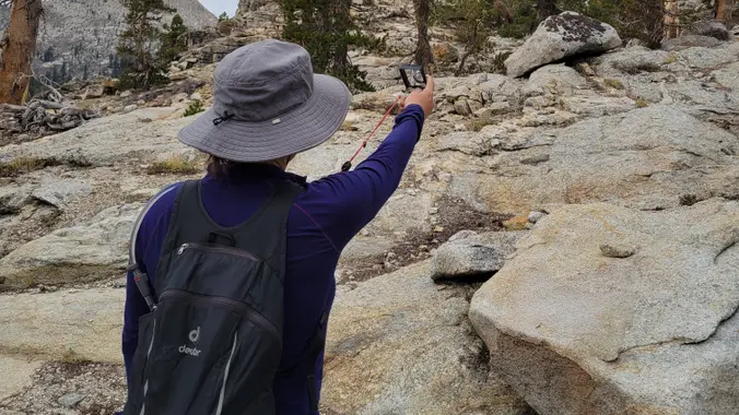
We’ll put together your new understanding (hopefully you attended our two previous sessions) of the compass and topo map and use them together to take bearings on features during a hike. We’ll identify ridges, gullies, and landmarks using our map and compass.
Maybe you already learned these things in WTC or somewhere else, but forgot and want to review? Come along…
If you have a mirror compass, bring it. If you don’t, you can buy one at REI or on Amazon. Even if you don’t have one, you can learn w/ours.
Wilderness Travel Course instructors are offering this FREE intro series to navigation. It’s best if you can take all three, but join for any you can fit into your schedule.
ONLY RSVP if you’re coming for sure. This will help us plan our lesson accordingly.
Bring water, sun protection, and snacks. Wear layers and comfortable shoes.
*****
Previous session (1 of 3): Anatomy of a Compass? Oct. 2
Learn the different parts and features, what they tell us, and how to use them. (Viewing sight, mirror, bezel, base plate, ruler, magnetized needle, liquid filled capsule, declination arrow, and lanyard),
Previous Session (2 of 3) All about Topo Maps; Nov. 6
Maximize your understanding of the data points in the margins, identify natural and man-made features, learn about contour lines, gullies, ridges, peaks, and more.
#Navigation #orienteering #topomap #COMPASS #stayfound #playoutside #getoutside #hiking #backpacking #crosscountry


